
TL;DR

Play games on Amazon Luna for your game nights, included with Prime
- A rotating selection of games, no download needed
- Play on TV, laptop or phone
- Fast, free delivery for your gear, too
A conservationist has created a new open-source application that processes over 40 terabytes of public data to monitor protected areas globally. This tool simplifies access to satellite and land data, enabling better land management. The development highlights how AI and cloud computing can empower conservation efforts without large budgets.
A conservationist has built a new open-source application that processes over 40 terabytes of public data to monitor protected areas worldwide. This development could significantly enhance land management and conservation efforts, especially in resource-limited regions, by making complex satellite and land data more accessible and actionable.
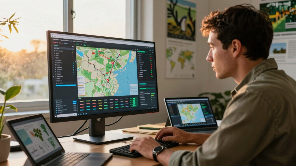
The app, called Five Megapixels of Global Conservation, was created using AI-powered tools that connect to multiple public datasets, including satellite imagery, fire data, and GPS tracks from conservation patrols. It aggregates this data into high-resolution, zoomable maps, allowing users such as government agencies, NGOs, and local communities to visualize land use and environmental changes across large areas.
Developed over approximately 300 hours with minimal budget, the app leverages cloud computing and AI to process massive datasets efficiently. For example, it uses 100 virtual machines running in parallel to analyze high-resolution aerial data from Austria, identifying forest age and health by classifying tree heights and other features. The processed data is stored openly on repositories like CERN’s Zenodo, promoting transparency and collaboration.
This effort was inspired by the challenge of accessing and visualizing disparate environmental data sources, which previously required significant technical expertise and resources. The app’s open-source nature aims to democratize data access, enabling local conservationists and governments to develop tailored monitoring tools without costly software or professional developers.
Empowering Global Conservation with Open Data and AI
This development matters because it demonstrates how advanced data processing and AI can democratize environmental monitoring, especially for resource-limited regions. By making large-scale, complex datasets accessible and usable, the app can improve enforcement of protected areas, track deforestation, and support sustainable land management. It also highlights a shift toward open-source tools in conservation, enabling local actors to build customized solutions and foster innovation without relying on expensive proprietary software.
satellite imagery analysis software
As an affiliate, we earn on qualifying purchases.
As an affiliate, we earn on qualifying purchases.
From Manual Data Collection to AI-Driven Land Monitoring
Historically, conservation efforts relied heavily on manual field surveys and limited satellite data, often inaccessible or too complex for local stakeholders. Recent advances in satellite imaging, cloud computing, and AI have begun to change this landscape, but integration remains challenging. The conservationist behind this project has long sought affordable, scalable ways to harness public data sources for land management. His previous work involved processing large datasets from Austria’s LIDAR scans and satellite imagery, but lacked a user-friendly platform for broader use. The recent development of the app represents a significant step forward in making high-resolution environmental data usable at scale, especially in regions like Sub-Saharan Africa and Central Africa where resources are limited.
“This tool could revolutionize how conservation data is accessed and used, bridging the gap between data availability and practical application.”
— an anonymous researcher
As an affiliate, we earn on qualifying purchases.
What Limitations or Challenges Might Affect Deployment?
It is still unclear how widely adopted the app will become, especially in regions with limited internet access or technical infrastructure. The effectiveness of the tool in real-world enforcement and decision-making remains to be tested at scale. Additionally, while the app can process massive datasets, its reliance on cloud computing resources may pose challenges for some users, and the accuracy of AI classifications in diverse environments is still under evaluation.
AI-powered environmental data analysis
As an affiliate, we earn on qualifying purchases.
As an affiliate, we earn on qualifying purchases.
Next Steps for Broader Adoption and Development
The conservationist plans to collaborate with local authorities and NGOs in Africa and beyond to pilot the app in real conservation projects. Further development will focus on improving user interfaces, expanding data sources, and integrating real-time alerts. There is also an aim to train local staff and build capacity for custom software development, fostering a community of practice around open conservation technology.
open-source conservation mapping tools
As an affiliate, we earn on qualifying purchases.
As an affiliate, we earn on qualifying purchases.
Key Questions
How does the app process such large datasets efficiently?
The app uses cloud-based virtual machines running in parallel, employing AI models to classify and analyze data slices, making large-scale processing feasible without extensive local hardware.
Can this tool be used in regions with limited internet access?
While the app relies on cloud computing, future versions aim to include offline capabilities or lighter versions for remote areas, but full functionality currently requires internet connectivity.
Is this technology available for free?
Yes, the app and its source code are open-source, intended to be accessible to conservationists and developers worldwide without licensing costs.
What kinds of data can users upload?
Protected area managers, governments, and NGOs can upload GPS tracks, satellite data, and other environmental datasets to customize monitoring efforts.
What are the limitations of AI classification in environmental data?
AI models may have limitations in diverse environments, and classifications need validation. Ongoing testing and improvements are part of the project’s roadmap.
Source: Hacker News
Fall Picks
fall essentials
As an affiliate, we earn on qualifying purchases.